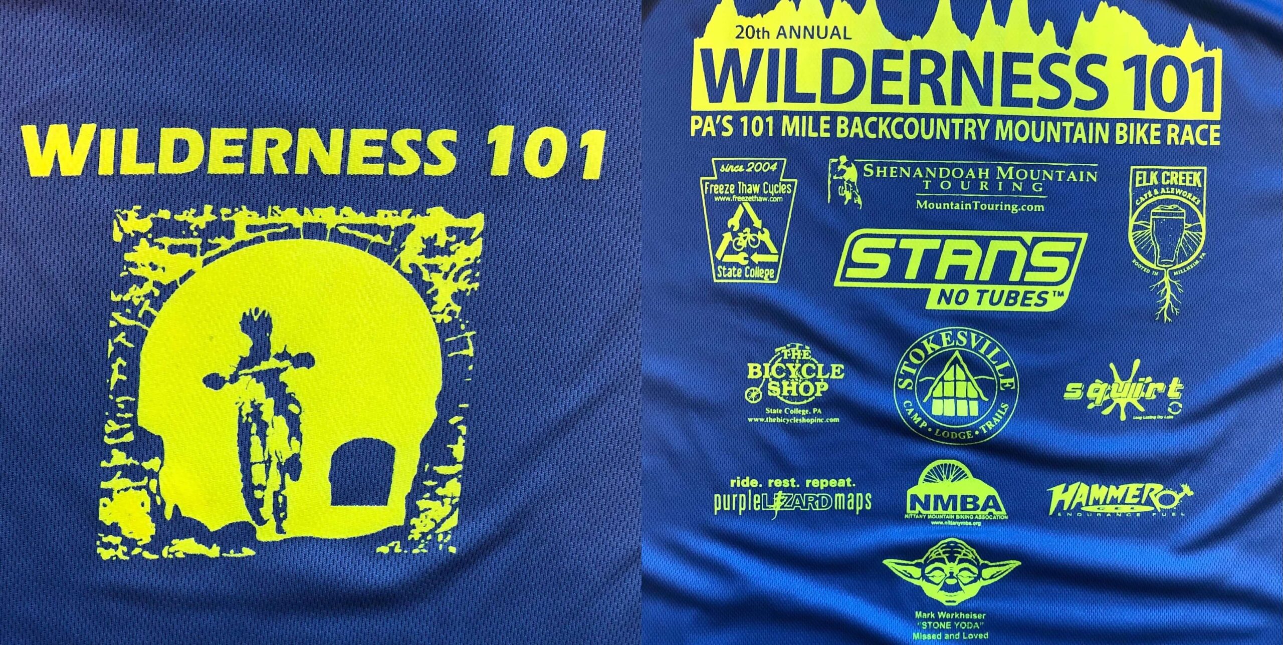
Editorial Note: This is the first entry in JB’s Journal. The Journal is a recount of JB‘s adventures, event participations, and other musings. This installment is a race brief of his Wilderness 101 – 2021.
The Wilderness 101 is the original ultraendurance MTB event. It takes place in beautiful central PA (CenPenn), near State College – home of The Pennsylvania State University! The original W101 ran from 1991 to 1993 and made a come back in the mid-aughts.
The Wilderness 101 launches from the town of Coburn, along Penn’s Creek at the foothills of the Bald Eagle State Forest. The course takes riders to Rothrock State Forest near State College and back. The route traverses classic CenPenn terrain – maintained and unmaintained gravel and dirt roads, snowmobile trails, steep/long climbs and descents, and rocky singletrack. Did I mention rocks? Yes, you will know why some call it Rocksylvania.
CenPenn is one of, if not my favorite place to ride. This part of Penn’s Woods has thousands of acres of public lands. During the Industrial Revolution, this area was heavily forested. When the industry waned, the Commonwealth acquired the land, which now include PA state parks, forests, and natural areas. The area is a true gem! The Bald Eagle and Rothrock State Forests, in particular, are amazing forests. They are so close to civilization, but so remote at the same time. For these reasons and more, the W101 had been on my bucket list for a long time. The Wilderness 101 – 2021 was my time.
Training Plan for the Wilderness 101 – 2021
The Wilderness 101 – 2021 was my second ultra distance MTB event, after completing the Mohican MTB 100 in 2019. The only other “longer” events I had completed were the 90ish mile 2019 unPAved Plenty and the 85ish mile 2019 Keystone Gravel. Similar to the 2019 Mohican, I started my preparation by choosing a 12-week race specific plan.
Like in 2019, I didn’t use a coach. Instead, I tried to use the knowledge I had gained reading Carmichael Training Systems’ books (and my past use of CTS high intensity interval training or HIIT, example) and from my participation the 2019 Mohican (a post on that experience to come soon) to choose and implement a plan. A coach is ideal, but tinkering with my training is part of the fun and process for me. In the end, I chose to use the Ultraendurance MTB Training Plan from Chris Carmichael’s The Time-Crunched Cyclist, 3rd Edition book.
The 12-week plan starts with Steady State Intervals to build endurance and power at lactate threshold. The plan then moves to OverUnders, which the Over is just above Steady State (Climbing Repeat intensity) and the Under is at Steady State. Eventually, the program moves to Threshold Ladders and Power Intervals to hit the VO2 max energy system, etc. The latter intervals are relatively short, all-out efforts and the former are a mix of OverUnders and Power Intervals. This plan is an example of the pyramidal training approach (albeit condensed/tweaked because it is only a 12-week plan).
The plan prescribes two HIIT sessions per week and longer Zone 2 endurance rides on the weekends. Obviously, recovery rides are mixed in as well. The plan is essentially broken into three, four week blocks. Three weeks of work, followed by one week of recovery with a lighter HIIT and shorter endurance rides. The last four week block comprises the “taper” phase, which is essentially backing off on volume (but maintaining a fairly high intensity) to reduce fatigue on race day.
Ultimately, the plan got me more fit for race day. However, I don’t think I had the cumulative fitness and/or recent base endurance to get the most benefit out of the plan. Specifically, it was only my second year of ultraendurance training and racing, and I didn’t accumulate weeks of miles to establish a solid base to launch into the 12 weeks. The plan is meant to be applied with a limited base, but I still believe I had too little. Overall, come race day, I felt a bit fatigued from the relative volume/intensity of the plan. That being said, I was fit and ready on July 24, 2021. Prior to digging into my race day results, let’s look at my course prep for the Wilderness 101 – 2021.
Course Preparation for the Wilderness 101 – 2021
For any priority or goal event, I like to pre-ride as much of the course as possible. Course prep and recon is another reason I really like ultraendurance events. I was pretty familiar with most of the 2021 W101 course as I had been riding in the area for a few years. Specifically, I had rode most of the gravel sections and some of the singletrack. A few weeks prior to the event a friend and I went up to the area for a weekend and rode the remaining singletrack. We made a nice two day camping trip out it. CenPenn camping is exquisite – the state parks and motorized forest spots are second to none.
I was satisfied with my recon, but it left me with one looming concern – rain! Rain and rocks = not fun, especially on the No Name Trail. More on that trail below.
Race Eve
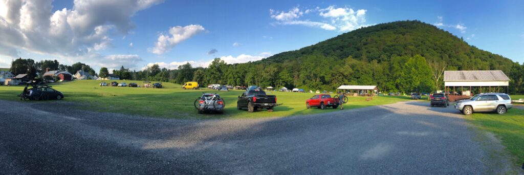
I made the 3-hour drive from Pittsburgh to Coburn on the Friday before race day. Coburn is a unique community with eclectic houses and a population with seemingly diverse outlooks on life. Event registration and HQ is at the community park in Coburn. This is where the start/finish and afterparty takes place. It is a nice open area where participants are able to camp the night before and of the race. Note that camping is only open for event weekend, but there are great options in nearby Bald Eagle State Forest.
A friend of mine and I arrived in the early afternoon to get a good spot to camp. Once we set up camp, we took a short drive into the Bald Eagle State Forest and took an easy spin to stretch out the legs on Sand Mountain. By the time we returned, the park was full of tents, campers, vans, and racers. People were picking up packets, chatting with new and old friends, and checking their bikes one last time before race day. That evening, we grilled out some kabobs, had a beer or two, and turned in early. All-in-all it was a nice evening!
Like many race eves, I had trouble falling asleep, which was exacerbated by the fact that I forgot my pillow and was sleeping on some uneven ground. Nonetheless, I got four or so hours of sleep, which I hoped was enough for a good day.
Wilderness 101 – 2021 Race Day!
Race day started pre-dawn with the event promoter wakeup call – a light banging of a gong. Thankfully, it was a cool morning with 0% chance of rain – phew! Didn’t have to worry about bombing down a wet No Name!

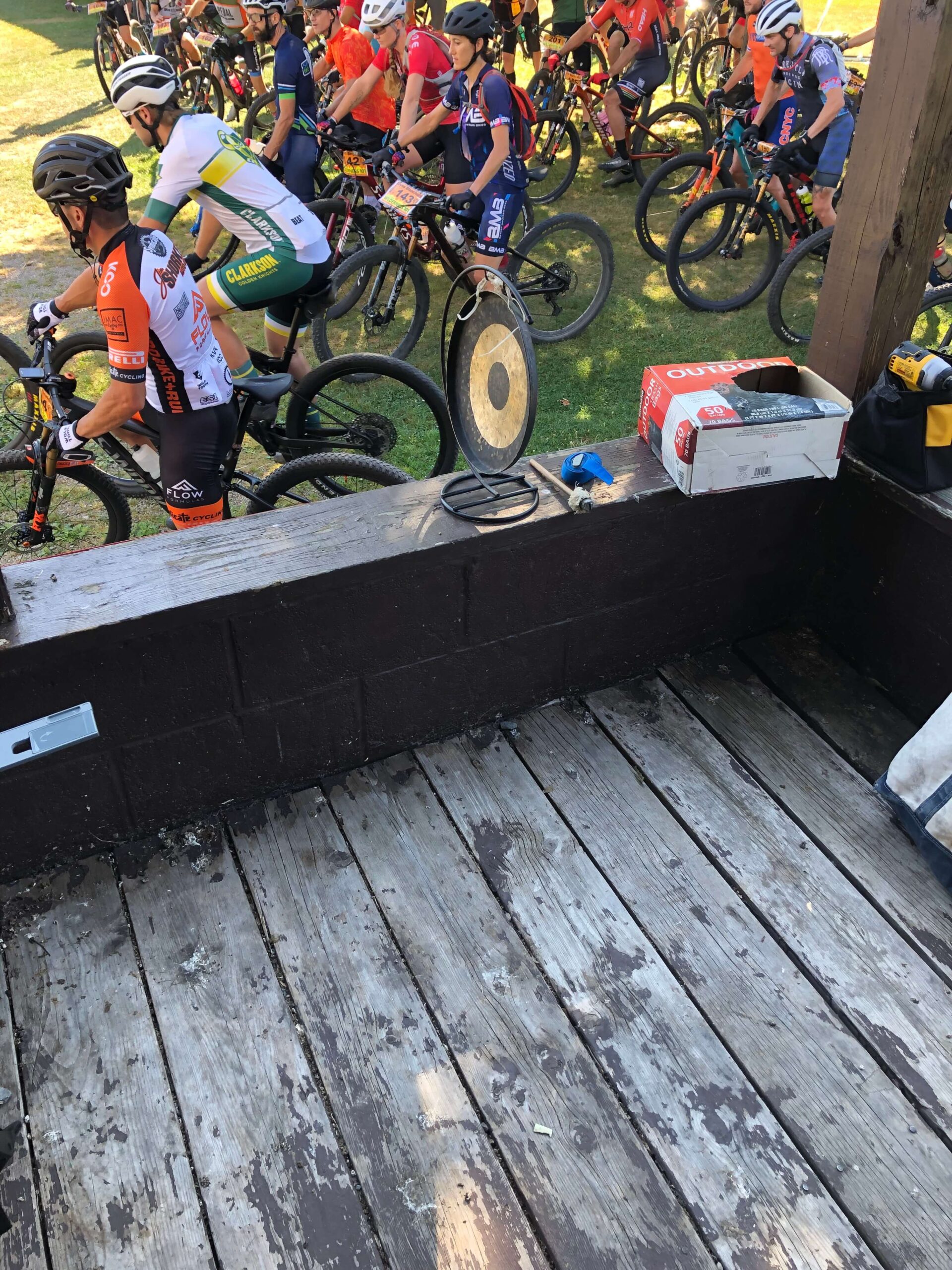
I ate a normal breakfast, changed into my race kit, squared away my hydration and nutrition needs, and completed my final bike check. At 7:00am sharp, the race was off.
Coburn to Crowfield Road
After exiting the park, the course takes riders on pavement through town for about 1.5 miles to the base of first climb. At that point, the course climbs the Siglerville Millheim Pike, which is a rude awakening. This climbs stretches about 4.5 miles on gravel and is the entrance to Bald Eagle State Forest from Coburn. The S&M Pike really tests the legs for the day.
At the top of the climb, riders turn onto Mountain Church Road for a screaming 3ish mile descent. The next 5ish miles after is on Decker Valley Road, which trends downward to old Route 322. The route then goes under the old and current Route 322 via a wildlife management area on Crowfield Road, which is only open on race day. After passing under 322, you are now in Rothrock State Forest. This 6ish mile stretch trends up, but the terrain and vegetation are absolutely incredible. So peaceful. I remember thinking how lucky I was to be riding in such a gorgeous place with cool morning air hitting my face!
Thickhead Mtn. Road to 3 Bridges Trail
After a short downhill to Penn Roosevelt State Park and the Aid 1 water stop, the course climbs 2.5 miles to Detweiler Run Natural Area via Thickhead Mountain Road. Riders are then treated to an exhilarating 2.5 mile descent down Detweiler Run. The next several miles are up and down to the first sections of singletrack on Longerberger Path at about mile 30. Longerberger continues onto the infamous 3 Bridges Trail, a tight, gnarly short piece of singletrack with some tightrope-type bridges that can be slippy (in Pittsburghese parlance). I was all good here, but came up on a pretty nasty crash just before the bridges. For me, the first 30 miles seemed to have gone by pretty quickly.
From the beginning, I told myself to keep it steady and to not go out too hard. I abided by those sentiments for the most part, but went a bit hard to try and stay on wheels on Decker Valley. I would pay later.
Laurel Run Rd. to Croyle Run Trail
After 3 Bridges, the course dumps onto Laurel Run Road, which is a steady few mile gravel climb to the Little Flat Fire Tower and Aid 2. I picked up my two bottles of Infinit GoFar and other food and was back at it pretty quickly. Immediately after the Aid, the course descends the New Laurel Run Trail, which is mix of rocks and roots. Nothing too, too crazy. The trail exits you onto another section of Laurel Run Road. This section of the road descends to Bear Gap Road. Bear Gap is a 1.5 mile climb with an amazing vista at the top. Soon thereafter, the course enters Croyle Run Trail at about mile 37.5. This 1.5ish mile descent is a bone jarring mix of roots and rocks. Nothing like what is yet to come, but the first time in the race that I thought about fatigue.
Beidleheimer Road to Dutch Alvin Trail
At the base of Croyle Run you pop out onto Beidleheimer Road, which was a welcomed 2ish mile descent. The course next rolls through the Alan Seeger Natural Area on Stone Creek Road. As an aside, the Seeger Natural Area is AMAZING if you like old growth, evergreens, and mountain laurel. It is worth exploring this area when not racing. Rather than follow Stone Creek, take a right on Seeger Road and enjoy the suffering up the Seeger climb, but I digress. . . .
Stone Creek gradually climbs for 2 miles and then you bust a right on Coopers Gap Road. The 2 mile climb on Coopers Gap at about mile 47 wasn’t for me. I started feeling the heat and humidity that seemed to have crept into the day. I hadn’t really noticed it until then. The only saving grace was that I was making a left off of Coopers Gap Road to Dutch Alvin Trail. This trail is one of my personal favorites. Although much of Dutch Alvin climbs, it is fairly gradual and the terrain is soooo cool. Sandy, twisty with interesting vegetation and limited rocks. It reminds me a lot of the Moon Rocks area in Davis, West Virginia if you’re familiar. At least the feel of the areas are similar, in my opinion.
Coopers Gap Road to Pigpile Trail
Dutch Alvin exits you back onto Coopers Gap Road. Another mile and there was Aid 3. I picked up my drop bag, which consisted of two bottles and some food and headed UP, UP, UP for about 1.5 miles on the Kettle Road gravel. This was at about mile 52.5, and I was really starting to feel the day’s effort, the heat, four hours of sleep, and the cumulative fatigue of race prep (and the effort on Deckers Valley Road, earlier mentioned).
At this point, the course takes riders onto Sassafras Trail. Sassafras is super rocky and pretty technical. The first mile trends up and the remainder down to Sassy Pig Trail. Sassy Pig is about a mile long and aptly named. It continues onto Pigpile Trail, which trends down on “a pile” of rocks. On a normal day, this section is AWESOME. If you like rocks that is. On race day, it feels like all the fillings you have are going to rattle out of your teeth. The fatigue combined with the tension of riding a hardtail down the rocks completely awakened the cramps that were already tossing and turning on Kettle and Sassafras.
Barrville Road to Indian Trail
By the time I reached the bottom of Pigpile and made the turn on Barrville Road, I knew the cramps that had threatened my inner thighs were about in full blossom. At the time, I didn’t know what that meant in terms of time and intensity. See, I never really experienced sustained and extreme cramping. But, now, they were in both legs. Barrville Road trended down on gravel, so no biggie there. The next road, Flat Road, trends mostly down with a some rollers for about four miles after Barrville. The cramps kept twinging on the rollers, nothing too bad. Still concerning.
Indian Trail to No Name Trail
At about mile 62, the course takes a left on Indian Trail. Indian to Shittaka Trail trends up and is mildly technical (or so that’s how I remember them). It is here that the cramps started to become debilitating. I’d pedal, cramp, and have to ease up or stop. This continued for the rest of the mile section to Chicken Peter Trail.
Chicken Peter is somewhat rocky, twisty, and technical. It leads seamlessly into Beautiful Trail, which wasn’t all that beautiful if you asked me on race day. This stretch is rolling to up trending and the trail bed is essentially on top of rocks. Think of it as surfing on a bike from rock-to-rock. Rather fun when you aren’t 64 miles into a race and cramping like a mo fo. But that’s a part of ultraendurance racing and why I do it. To push through the pain. Pain I chose and continue to choose to experience.
No Name Trail to Lingle Valley Road
Beautiful makes a left onto the aforementioned No Name Trail. This .7 mile long trail descends to Lingle Valley Road, cliff inches to the left of your wheels, rocks jetting out to your right, and your tires squirming over rocks and crevices. Definitely one of the iconic W101 trails!
I made the .7 mile stretch in one piece – PHHHEW! Good news! The bad news, crampies set in with a vengeance! I had forgotten how bad the cramps actually were. But, thanks to leaving my GoPro on by mistake, I was reminded. Check out the YouTube video linked below at about 3:14 as evidence.
Lingle Valley Road to Stillhouse Hollow Road
The next 2ish miles were on the gravel of Lingle Valley and then Old Route 322 to Aid 4 at mile 68. By Aid 4, I was on another planet and that dark place was on the horizon. I knew the 3ish mile Stillhouse Hollow gravel road climb was coming right after the Aid.
Stillhouse Hollow to Sand Mountain
My friend was volunteering at Aid 4 and had my hydration/nutrition top off (another two bottles and some food). I chatted with him for a minute or two to try and get my wits about me (to no avail) and then set off. My friend had indicated that Stillhouse “wasn’t that bad.” Hahahaha – maybe on any other day, but on race day it was MISERY for my cramping legs. Others must have had similar experiences as the Strava segment is named “Stillhouse aka the middle finger from god.” I don’t know about that, but I certainly went to dark places battling the cramps up Stillhouse. I survived though.
Stillhouse turns onto Sand Mountain Road, which continues to ascend for another half mile to a piece of sandy rolling singletrack on the Link Trail. I would be remiss if I failed to mention a group of locals that set up a makeshift aid station at the entrance to Link Trail. This is at about mile 73. They were so encouraging. Gave me a cold drink and put an ice bag in my jersey. It really was a lifesaver!
Panther Run Road to Poe Paddy State Park
After the mile long Link Trail, the course is rolling to up trending for 6 miles on doubletrack and gravel roads to the entrance of Panther Run Road. Panther Run be damned! This road is more of a snowmobile/dual sport bike trail with large puddles and baseball sized rocks everywhere. While it trends down with one short climb, it constantly beats you around. I hadn’t pre-rode it, and don’t know if that was a good thing or not. On race day, I saw the upcoming elevation profile and was so excited to get to it as I needed some downward trending terrain. Once on it, I couldn’t wait for it to be over.
Panther Run exits on Havice Valley Road. I knew Havice Valley from gravel rides and events liked unPAved. It was exactly what I needed! Havice Valley is a glorious 5-mile absolutely scorching descent into Poe Paddy State Park. This 5-mile stretch lifted me from darkness and put me at Aid 5. Mile 87. I could see the light at the end of the tunnel. Figuratively, of course. I got a quick drink of coke and quickly munched on chips. Topped my bottles and was off.
Poe Paddy to Fisherman’s Path
My goal was to finish in under 11 hours. The cramps put that goal into question, but it was in reach if the rest of the race went flawlessly. The next three miles were flat on Penn’s Creek Trail. This rail trail takes you through a newly renovated tunnel paralleling Penn’s Creek. The tunnel is super dark. TIP: bring a light. I get super wonky in tunnels when I have “race brain” and weave and wobble back and forth. Kinda like a drunk sailor on a bike. This race day was no different. Luckily, someone smarter than me with a light came from behind and I followed. The good news was that my cramps were behaving. At least for the time being.
Soon after the tunnel, you hit Cherry Run Road at mile 90, which is the start of the final climb. Cherry Run to Old Mingle Road. That was it as far as climbing. Three more miles. . . . As soon as the gradient went vertical, guess who came out!?! You guessed it, Mr. and Mrs. Crampies. Although they definitely slowed me up, I managed them fairly well.
Fisherman’s Path to Finish
At the top of the last climb, I thought sub-11 was in sight. I knew I had a screamer of a 2-mile descent down Old Mingle. However, another section that I hadn’t “pre-rode” was the Fisherman’s Path. It was at the base of the Old Mingle descent. Turns out, this .5 mile section is mandatory hike-a-bike through massive rock outcrops. Not so bad hiking or even carrying a bike when not totally cooked! Put simply, this section put the sub-11 out of reach.
The path dumps you onto the Ingleby Rail Trail at about mile 95. It is about one mile, and takes you through the Coburn Tunnel. This tunnel is historic abandoned railroad tunnel and the iconic logo of the W101. Again, take a light for this one. I wasn’t lucky enough to have another person close by so I had to pull out the iPhone flashlight to get through the rock strewn tunnel. Fortunately, it is short.
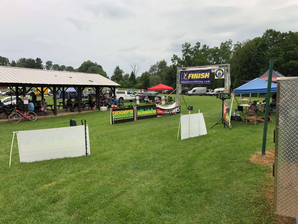
The remainder of the course is flat on a combination of rustic rail trail and Coburn pavé back to the park. After a few wrong turns due to the Garmin going wonky on me, I made it to the finish just over 11 hours and 15 minutes. While I didn’t make my goal of sub-11, I was sure proud of battling through cramps and learning a ton more for the next one!
Race Afterparty
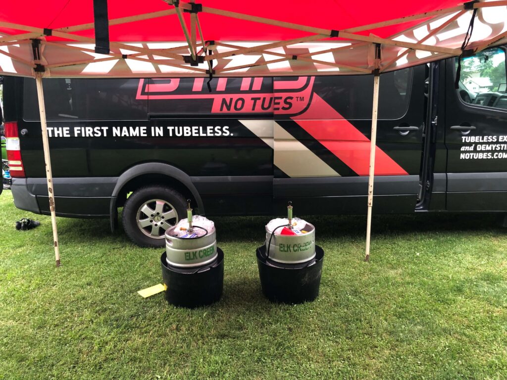
The race afterparty took place in Coburn Park. It was great. Because of looming COVID concerns, the race organizer had a taco food truck rather than the traditional buffet (so I am told). The beer was supplied, per usual, from nearby Elk Creek Café + Aleworks. An awesome place located in nearby Millheim, PA. Great food and beer – check them out! The afterparty was a nice reward after a hard day on the bike!
Video of JB’s Wilderness 101 – 2021
Although I didn’t get every section of road and trail on the course, I did gather a fair representation of the course on my GoPro. Check out my YouTube video for the raw footage and if you need a laugh at my reaction to cramps!
Race Course Map
Thanks for reading. If you found this article interesting, we’d love it if you’d sign up for The Hub’s newsletter and follow us on your favorite social media channels (form and links on the right and bottom of this page).