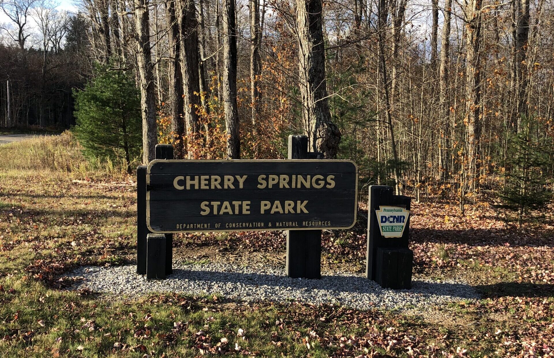
Cherry Springs State Park sits in the mountains of Potter County, surrounded by the quiet roads of the Susquehannock State Forest, long ridgelines, and the stillness that defines God’s Country. This route is a challenging but scenic ride that pairs well with our Lyman Run route just down the road. It is a great option if you want peaceful miles, big sky views, and very little traffic. The terrain is rugged, the scenery is classic northern Pennsylvania public lands, and the solitude is part of the experience.
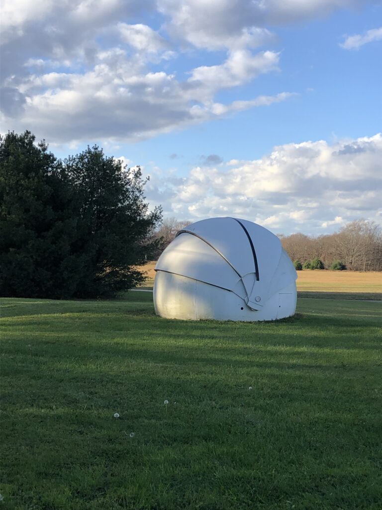
Cherry Springs Astronomy Shelter
Route Profile
Mileage
52.3 mi.
Elevation Gain
5,369 ft.
Gravel Category
Mostly Categories 1 (smooth) to 3 (fairly rough) with the possibility of 4 (very rough) depending on weather conditions.
Check out our Industry Standard Guide to Gravel articles for descriptions of the categories.
Bike Suggestion
Gravel bike or hardtail
Tire Suggestion
38–45 mm (on the knobbier side)
Fuel Stops
None on route
Ride with GPS Link
Cherry Springs Gravel Route


")
Route Description
This route starts at the Night Sky Public Viewing Area at Cherry Springs State Park. After a screaming paved descent, it immediately settles into quiet forest roads that roll through the high plateau. The climbing and the terrain are steady, but the ride feels relaxed. You get a mix of open vista views scattered throughout the entire ride, along with shaded stretches deeper in the woods.
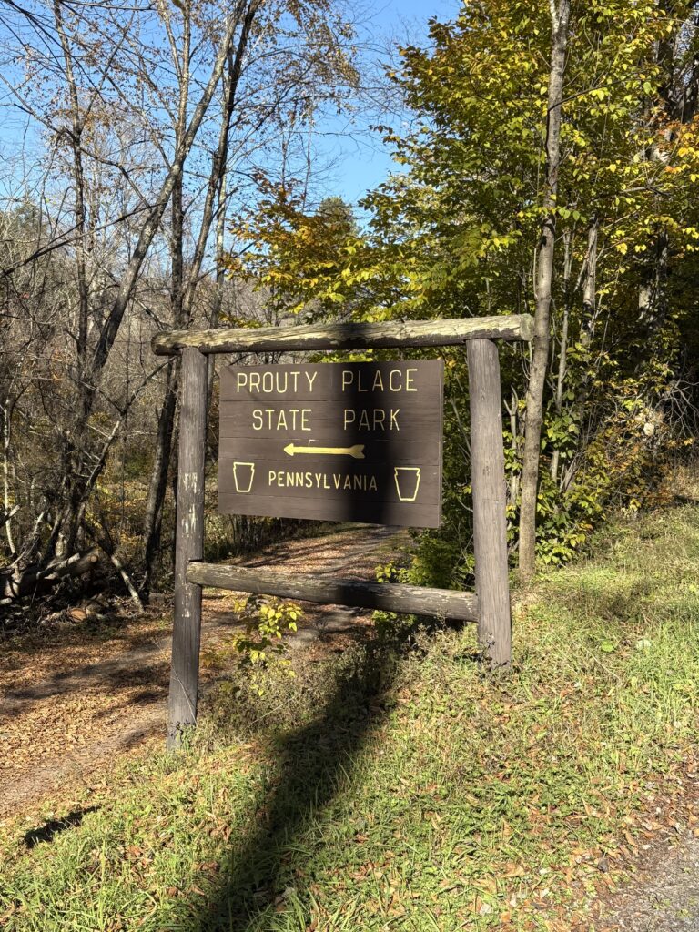
There are so many highlights on this route that it is hard to choose a favorite portion. The last 20 miles, however, are stellar: a long, screaming gravel descent down Long Toe Road into Proudy Place State Park, a gnarly ascent up Wild Boy Road, and the quiet miles and big sky views in the Horton Run area are second-to-none. These miles are the kind of riding that make Potter County special. The solitude is real, and the landscape feels untouched.
Seasonal conditions can vary. After rain, the dirt sections can soften, and during ATV and hunting seasons the area sees more activity. Cell service is limited, so download your route ahead of time and plan to be self-sufficient.
Surfaces & Terrain
Mostly smooth gravel and dirt forest roads with largely steady grades.
Expect typical northern Pennsylvania washboarding and loose corners.
Limited cell service and active public lands during ATV and hunting seasons.
Route Map
Parking / Start Location
Primary Parking
Cherry Springs State Park
Address / GPS Pin
Quick Tips / Notes
- Download the route before you go
- Bring enough nutrition and water for the full loop
- Expect quiet roads and minimal traffic
- Be mindful of the rules and best practices during hunting season (here is a link to our suggestions)
- ATVs are prevalent in the area from the Friday before Memorial Day through the last full weekend in September
- Combine with the Lyman Run route for a full weekend or an extension of the Cherry Springs Gravel Route
The Hub hopes you enjoy the route. If you found this summary helpful, please share it with friends, family, or on social media. To keep up with everything we publish, follow us on our social channels and sign up for the newsletter using the links on this page.
The Unpaved Hub’s Routes and Reports
Next up: Our event report for the 2025 The Starrucca Crossing.